Skip to main content
Island Lives
Menu
Main navigation
Search
Titles
Places
Map
Contribute
Donors
FAQ
Breadcrumb
Home
North America
Canada
Maritime Provinces
Authority Link
Geological Maps of the Maritime Province (Island Imagined)
43.583399, -65.343001
A short guide to All Souls' Chapel
Historical sketch of Murray Harbour Presbyterian Church
Peter's Road Presbyterian Church 100 years young
History of Presbyterianism on Prince Edward Island
East Point United Baptist Church: historical record, 1933-1972
A church is planted: Summerside United Baptist Church 1868-1988
East Point United Baptist church, 1833-1983: historical record
Vital statistics of the Alberton Presbyterian Church, 1843-1981
History of St. Mark's Presbyterian Church, Sherwood, P.E.I
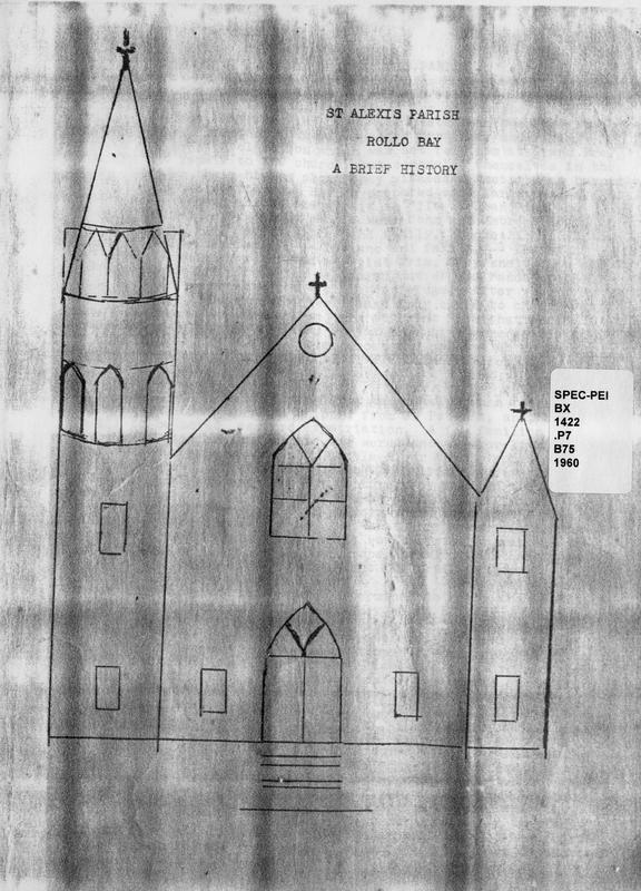
A brief history of St. Alexis Parish
Pagination
First page
Previous page
…
Page
14
Page
15
Page
16
Page
17
Current page
18
Page
19
Page
20
Page
21
Page
22
…
Next page
Last page